Academic SalonDesign for the Future of the Joint School
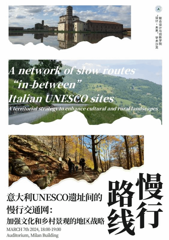
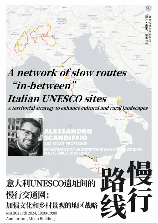
A network of slow routes “in-between” Italian UNESCO sites: A territorial strategy to enhance cultural and rural landscapes
The lecture aims to show how slow tourism routes that cross fragile landscapes in Italy can support territorial development strategies in inner areas of the country. The research has been applied to the territories in between UNESCO sites (WHL, MAB, GG, CCN) to reduce the phenomenon of over-tourism which affects the main sites and, at the same time, promote the enhancement of the surrounding landscapes characterised by high value cultural and natural heritage, which are less frequented by tourists and inhabitants. The research has been applied in different regions of Italy (Apulia-Basilicata 2019, Piedmont 2021, Sicily 2023, ongoing Lombardy and Central Italy) by involving local actors and stakeholders, trying to test a large-scale strategy that can be scalable and replicable in different territorial contexts, and, at the same time, related to the spatial configuration and specificity of each fragile territory. The research is strongly structured through a mapping process that produces different forms of representation such as sketches, conceptual schemes, and maps. The lecture also shows other related topics: the parametric definition of slow tourism routes according to seasonal conditions of the landscape, visible by satellite imagery, and the measuring of the spatial quality of the slow routes.
Speaker: Prof. Alessandro Scandiffio
Date and time:Thursday, 7th March 2024, 18:00-19:00
Venue: The auditorium located on the lower ground floor of the Milan Building
Profile of the speaker:

Building Engineer, Ph.D. in Cultural Heritage
Assistant Professor of Drawing and Representation
Department of Architecture and Urban Studies
Politecnico di Milano
Research Group: http://www.e-scapes.polimi.it/
DAStU:https://www.dastu.polimi.it/
Alessandro Scandiffio is a Building Engineer and PhD in Cultural Heritage in Italy. Currently, he is an Assistant Professor in the field of Drawing and Representation at the Department of Architecture and Urban Studies, Politecnico di Milano, where he is teaching in the courses of the School of Architecture, Urban Planning, and Construction Engineering. During his academic career, he also graduated from Alta Scuola Politecnica and collaborated with Politecnico di Torino (Italy) and TU Delft (Netherlands). He actively participates in conferences and lectures in Italy and abroad, with scientific publications. In the E‐scapes Observatory, based at Politecnico di Milano, Alessandro researches innovative mapping methods for investigating regional and urban scale phenomena. The latest research projects are related to the “Mapping of spatial quality of slow tourism routes” and the “Dynamic mapping of seasonal landscapes through multispectral satellite imagery”. The research approach is mainly based on spatial analysis with Geographic Information System (GIS) which allowsresearchers to find new relationships and patterns in complex landscapes by combining heterogeneous geospatial data in a multiscalar way. The main research outputs are schemes, diagrams, and thematic maps, which can support decision‐makers in defining new territorial strategies. The research activities, particularly, refer to the fragile territories and the marginal areas in between the main cities, where new strategies for regional rebalancing are necessary, also considering the opportunities available by the latest digital technologies.


